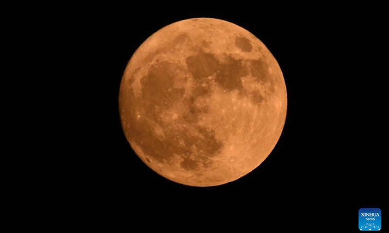


China releases the world’s first set of high-precision geological map of the moon drawn by China’s scientific research team on April 21, 2024. Photo: Chinese Academy of Sciences
China released the world’s first set of high-precision geological maps of the moon drawn by China’s scientific research team on Sunday, mainly based on scientific exploration data from the Chang’e Project.
The highest precision geological atlas of the whole moon, with a scale of 1:2.5 million, can visualize the craters on the lunar surface, rocks and minerals found on the satellite of the Earth, and what kind of geological activity the moon has experienced.
As the internationally used geological maps of the moon obtained by the Apollo program of the US cannot reflect the latest research results of mankind in recent decades, they are no longer able to meet the needs of future scientific research and lunar exploration, according to the Chinese Academy of Sciences (CAS).
Liu Jianzhong, a researcher at the Institute of Geochemistry of the CAS, said that among previous geologic maps, only maps of localized areas were of high accuracy, and the scale accuracy of these maps covering the entire moon was 1:5 million, according to the Xinhua News Agency.
“The Chang’e Project has played a crucial role on the production of the atlas, ” Wang Yanan, chief editor of Beijing-based Aerospace Knowledge magazine, told the Global Times.
“In the past, when human-being couldn’t land on the moon, we observed the satellite through telescopes, but the range that could be observed was limited due to the distance. However, the advent of probes, whether circumlunar probes or probes capable of soft landing, has actually shortened this distance,” said Wang.
Wang also said that the atlas is a collection of the results of the previous phase of China’s scientific exploration of the moon.
“Developing this atlas not only has to have well-tested means and equipment to collect accurate data and achieve the precision, but it also has to ensure the probe to have a full range of exploration and coverage,” Wang said. “The collection of atlas shows that the scope of China’s lunar exploration is very broad and our data collection accuracy has reached a good level.”
The atlas contains a geological map of the entire moon, a map of the distribution of rock types throughout the moon, an outline of lunar tectonics, and 30 standardized sub-schematic geological maps of the moon.
On the main map, a total of 12,341 impact craters and 81 impact basins can be seen on the moon, and 17 rock types and 14 types of tectonics can be identified. Some special elements including landing sites of human probes are also shown in the atlas.
Since 2012, Ouyang Ziyuan, the first chief scientist of China’s lunar exploration program, put forward the idea of compiling and researching a new geological map of the moon, a team of researchers from different organizations in China have been working on it for more than 10 years.
According to the CAS, the atlas can not only provide basic information and scientific reference for the formulation of scientific objectives and the implementation of the lunar exploration project, but also fill the gaps in China’s compilation and research of geological maps of the moon and exoplanets.
Wang said that the release of the atlas represents a form of information sharing and support for all countries interested or involved in lunar exploration.
The maps have been integrated into the digital lunar cloud platform built by Chinese scientists, Liu said. Scientists will also compile higher-precision lunar geological maps to further serve lunar scientific research, science education and China’s lunar exploration project in the future.